Sunday, October 12, 2008

Map# 32: Unclassed Choropleth Map


This is an Unclassed Choropleth map of Montana. Notice the different attempts to create various differences in shading. These maps are not utilized as much as the classed Choropleth map.

Map# 31: Classed Choropleth Map


A Classed Choropleth map depicting percent of Hispanic or Latino population in the state of Florida.

Map# 30: Range Graded Proportional Circle Map


A Range Graded Proportional Circle Map of population in Canada. Notice the smaller circles within the larger circles providing more detail than the previous circle Map of the US population.

Map# 29: Continuously Variable Proportional Circle Map


A Continuously Variable Proportional Circle Map of United States population estimates. Notice how readily the viewer can get a sense of population sizes by quickly glancing at the legend and comparing circle sizes.

Thursday, October 9, 2008

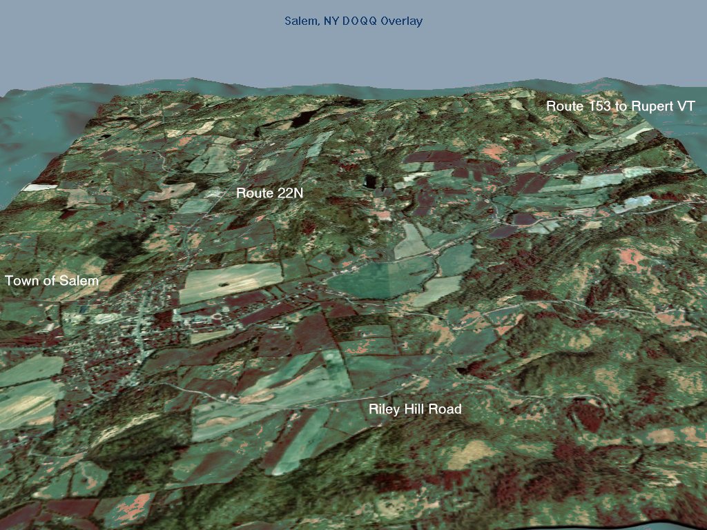
Map# 28: Digital Ortho Quarter Quads (DOQQ) Map.


Digital Orthophotos are images which depict a uniform scale. Because of this, it is possible to measure directly on it like other maps. These maps can be used as base maps for additional overlays for a variety of information. The example above is a 3-D view of Salem, NY. This map was produced with complicated mapping techniques detailed at Terrainmap.com edited by John Childs.

Wednesday, October 8, 2008

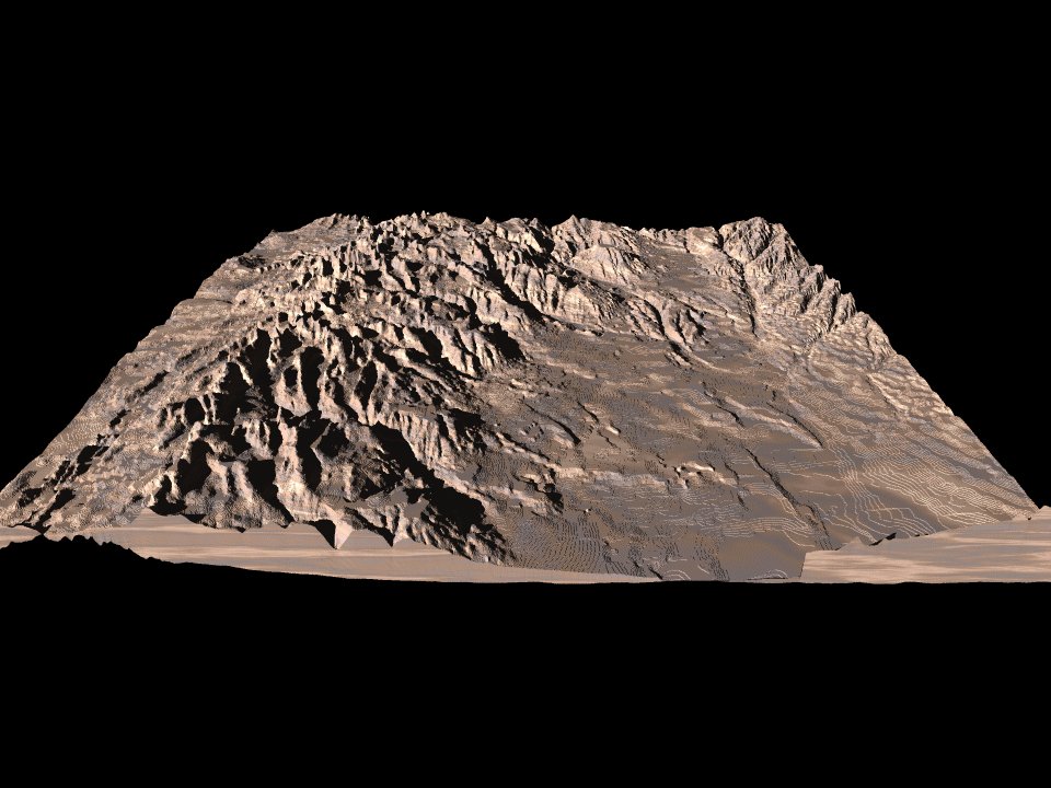
Map# 27: Digital Elevation Model (DEM)


DEMs are the most used basis for digitally produced relief maps. These maps are a digital representation of ground surface topography or various terrain. They are formed from either land surveying or, more often, remote sensing techniques. They are also called digital terrain models. Notice the level of detail that is obtained on the DEM map above.

Map# 26: Digital Line Graph (DLG)


Above is a DLG 1: 2,000,000 scale map of Missouri depicting Boundaries, hydrography, and roads. DLG maps are derived from USGS DLG databases. They are high resolution maps containing outlines of a variety of features such as: country and coast lines, state outlines, county outlines, roads, railroads, streams, lakes and islands, major city outlines, and military reservations to name a few.